Long-term coastal change monitoring and research at Sleeping Bear Dunes and Pictured Rocks National Lakeshores
Funder: National Park Service
Key goal: Calculate coastal change over time at priority sites within Sleeping Bear Dunes and Pictured Rocks National Lakeshores and use these data to develop and implement a long-term coastal change monitoring protocol. This work involves mapping priority sites, comparing current conditions with historical data, establishing photo monitoring stations for use by park visitors, and assisting park staff as needed with coastal change issues.

Sediment Transport Mechanisms and Geomorphic Processes Associated with Shore Ice along Cold Climate Coastlines
Funder: National Science Foundation (Award #1950101)
Key goal: Explore how shore ice shapes coastal geomorphology and use that information to understand how a changing climate with less winter ice might impact coastal systems
Collaborators: University of Wisconsin-Madison; University of Illinois at Urbana-Champaign (Illinois State Geological Survey)

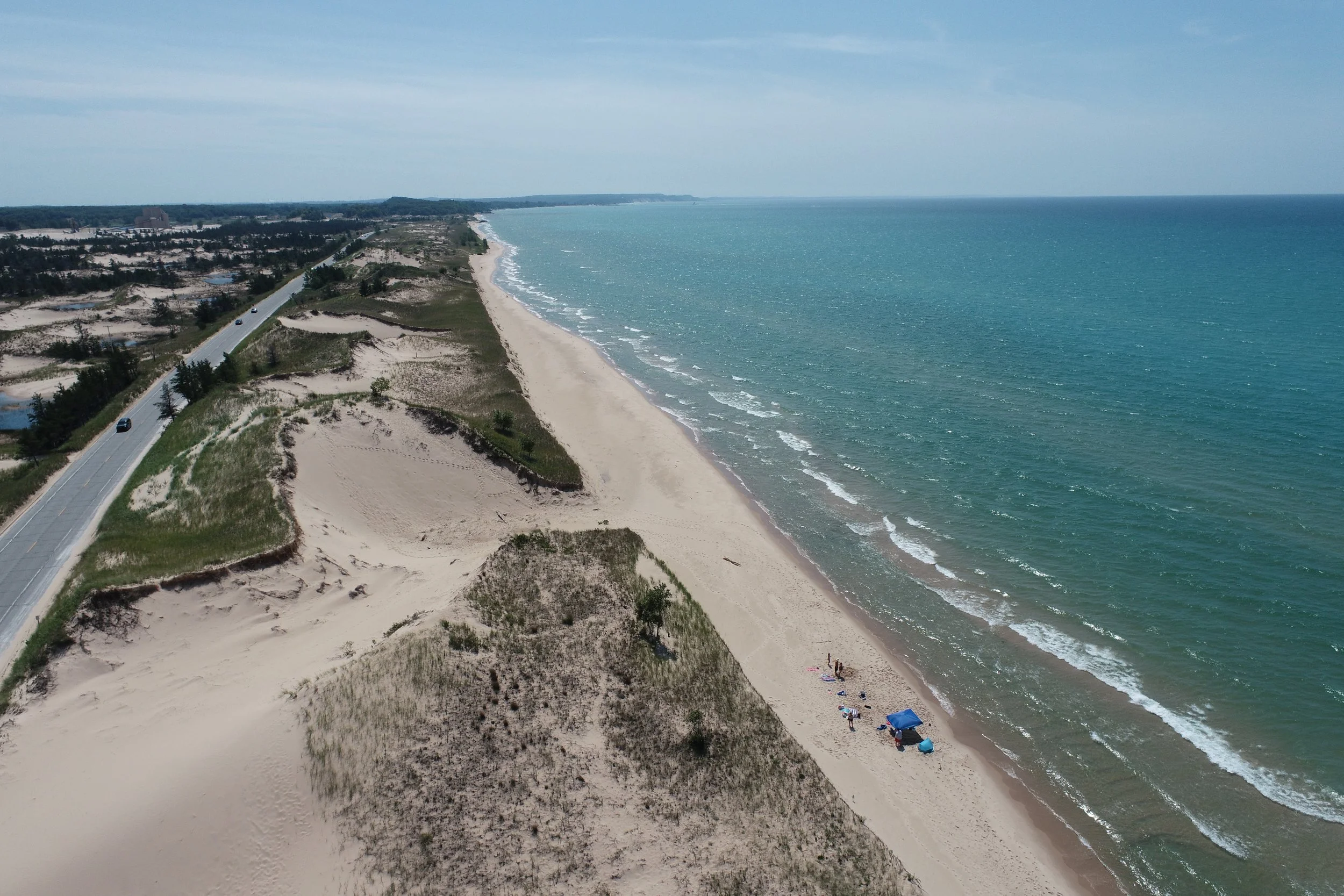
Predicting coastal resilience by documenting nearshore sediment transport pathways
Funder: Michigan Coastal Management Program: Michigan’s Office of Environment, Great Lakes, and Energy
Key goal: Identify the transport pathway for sand that eroded from beaches and dunes during the recent lake level rise and the processes and conditions that drove this response. Use this information to identify how similar sites may respond to a range of future conditions and share this information with coastal managers and decisionmakers.
Collaborators: Great Lakes Research Institute: Michigan Technological University; University of Michigan’s Taubman College of Architecture and Urban Planning
Development of a drone-based coastal change monitoring program through citizen science partnership and capacity building
Funder: National Science Foundation (Award #1939979)
Key goal: Train community members to pilot drones and collect coastal change data that can be used for decision-making. Develop a workflow for rapid data dissemination that promote proactive coastal management.

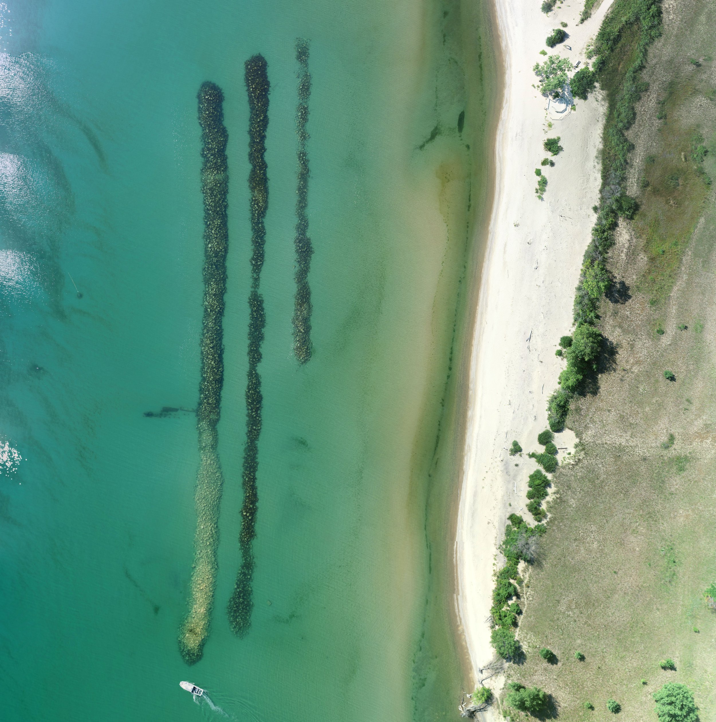
Sustainable Nearshore Management Solutions to Prevent Critical Habitat Loss at Illinois Beach State Park
Funder: Great Lakes Restoration Initiative: Environmental Protection Agency and National Oceanic and Atmospheric Administration
Key goal: Design and implement an engineering with nature project to protect globally threatened wetlands and other important coastal habitat along the Lake Michigan shoreline. This work involves monitoring sediment transport and hydrodynamic conditions near a rock ridge that was placed in the nearshore to mimic nearshore bars. The aim of this project is to evaluate whether these types of passive sand management strategies are viable for protecting coastal habitat and whether they have unintended sediment transport impacts.
Collaborators: University of Illinois at Urbana-Champaign (Illinois State Geological Survey and the Illinois Natural History Survey); Illinois Department of Natural Resources: Coastal Management Program
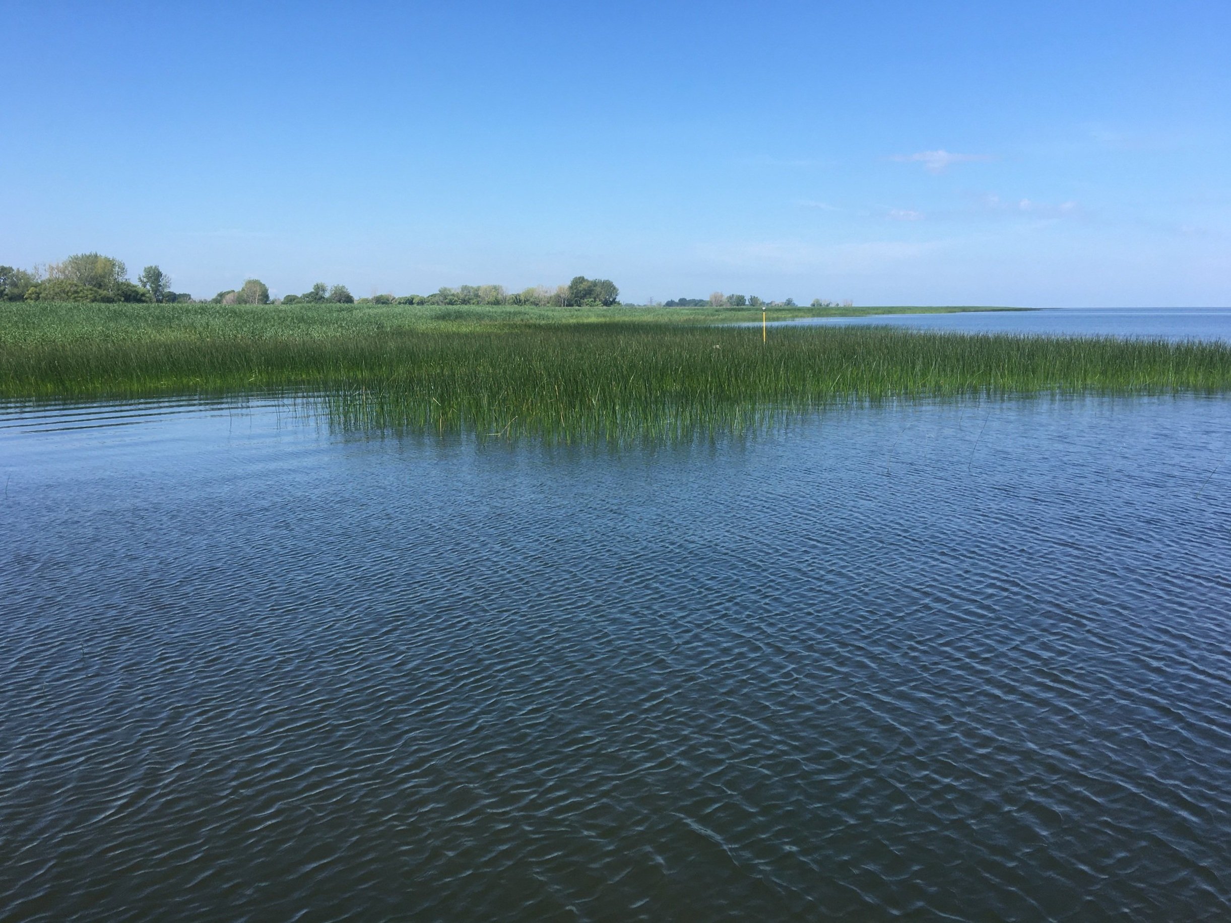
Erosion and sediment transport in response to high water levels within Saginaw Bay coastal wetlands
Funder: Tomago Collins (gift to the Department of Geography, Environment, and Spatial Sciences) and College of Social Sciences/Department of Geography, Environment, and Spatial Sciences
Key goal: Flooding is widespread along coastal wetlands in the Great Lakes during periods of high lake level and leads to a loss of wetland area. While the expansion and contraction of wetland area is well-documented in association with fluctuating lake levels, little work has been done to explore whether this is also associated with lakebed erosion. Ongoing work aims to document erosion and sediment transport associated with marsh loss and then use this information to provide insight into future marsh conditions.