
Outreach and Education
-
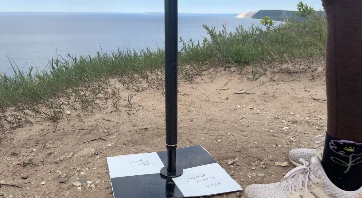
What is Ground Control Point?
A Ground Control Point (GCP) are reference points we use for drone surveying. The tiles are placed and marked with precisely measured GPS coordinates. They are used to establish a real world location to imagery collected during the flight. GCPs are key in the reconstruction of Michigan coasts for past, present, and future management. Click below to learn more about where we use these!
-
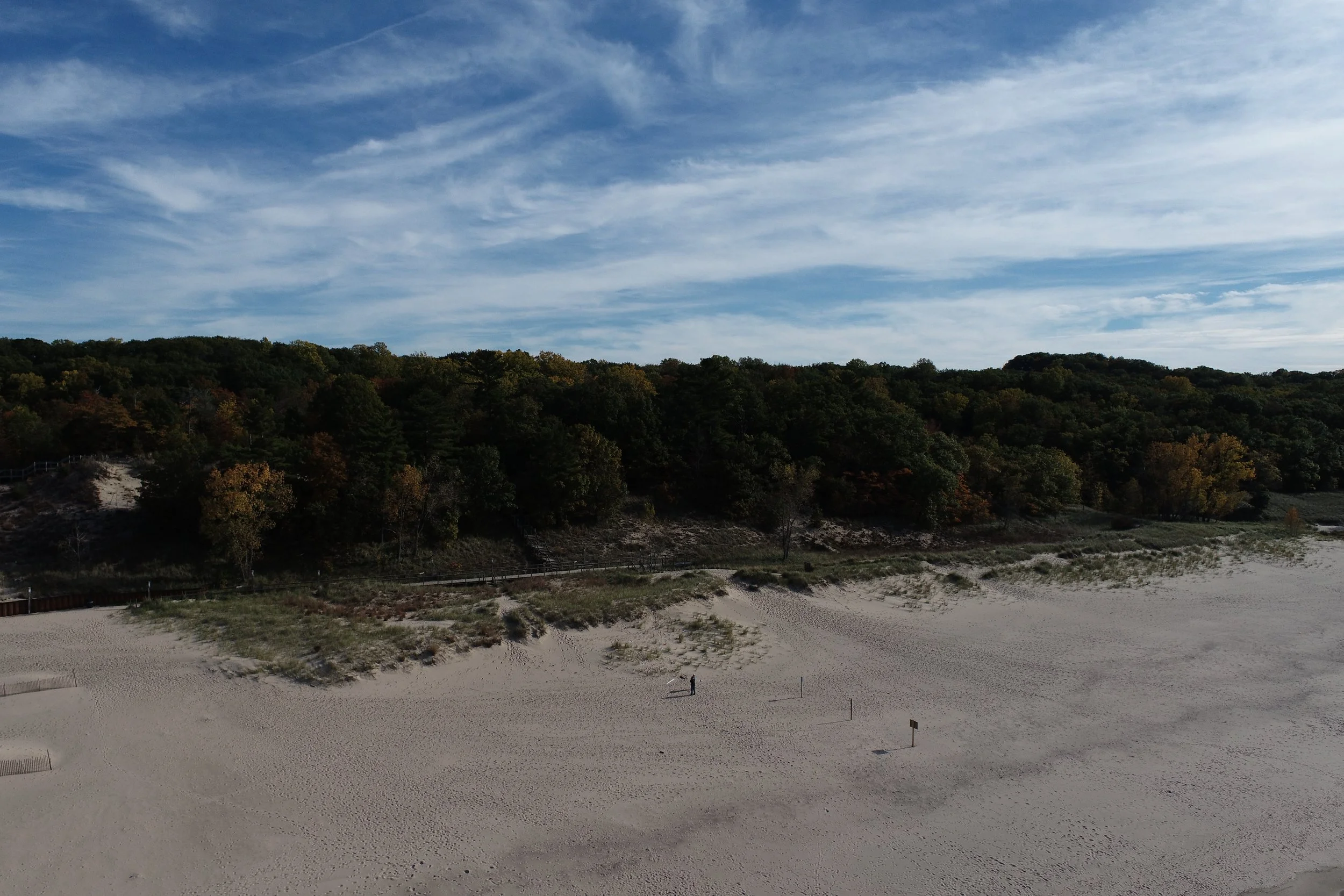
Weko Beach (Bridgman, MI) Community Science
We are partnering with the Michigan Coastal Management Program (EGLE) and the Bridgman Shoreline Committee to conduct community science-led mapping of foredune recovery following high lake levels.
-

Ice Virtual Field Trip
Walk along with us as we study how ice impacts shoreline change through a virtual learning experience. Funding to develop this virtual field trip was provided by the National Science Foundation, Award # 1950101 received by Dr. Ethan Theuerkauf. Use the buttons below to launch the field trip and guided questions.